The current state of data collection and crop pest and disease diagnosis is transitioning from disease
identification using visible symptoms to the use of data-driven solutions applying machine
learning and computer vision techniques. Smallholder farmers and agricultural experts are
equipped with mobile phones loaded with software to automatically collect field-level Geo-coded
and time-stamped data. We have demonstrated the potential for the use of these tools for
disease diagnosis for beans, cassava, bananas and tomatoes. However, the image
data previously collected has not been sufficiently curated, prepared and shared with the wider
machine learning community. Moreover, by the time-image data is captured, diseases have
already manifested in different parts of the plant and little can be done to salvage the situation.
Although recent studies, research has shown that the presence of diseases can be
detected from leaf spectral six weeks before the appearance of visual symptoms, this work has
been limited. It is important to transfer this work from the controlled screen house environment
to the field for reproducibility and investigating how the plant metabolite is affected under these
Conditions.
Premised on the above unmet need, the goal of this project is to deliver open and
accessible key machine learning image and spectral datasets for crop pests and diseases for
cassava, maize, beans, bananas, pearl millet, cocoa from Uganda, Tanzania, Namibia and
Ghana.
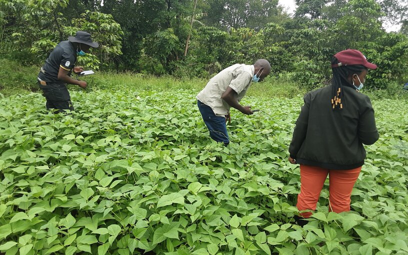
Image Data expandd existing crop image datasets in Makerere AI lab, NM-AIST, NUST
and karaAgro AI and generate new large robust and easily accessible datasets at all partner
institutions that can be used for various machine learning experiments. By using farmers and
extension workers as the main crowdsourcing agents, we will get crop images at different crop
growth stages. Working with the different country agricultural partners, we map out the
agro-ecological zones from which suitable crop image data can be captured.